Saturday 30 April 2016

All new now for us.


All new now for us.

After topping up fuel at Tennant Creek we continued on stopping at Three Ways Roadhouse for morning tea from here on it is all new to us.
The amount of caravans that pulled in and went passed while we were stopped was amazing all heading North to Darwin.
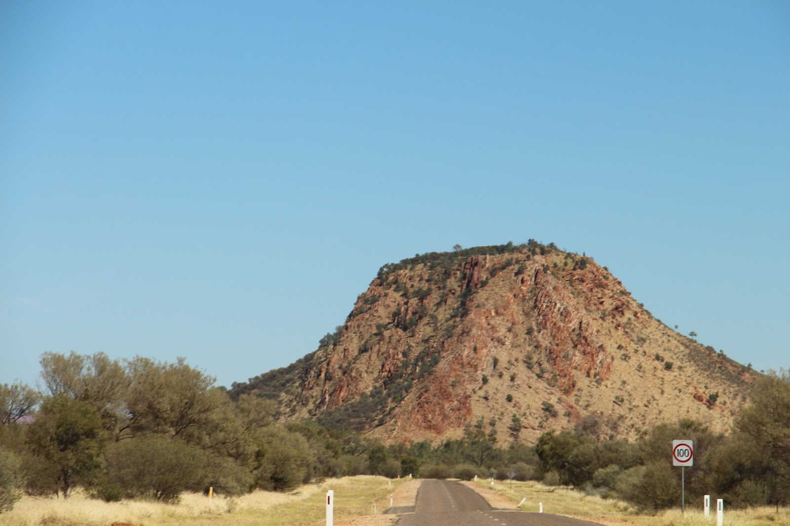
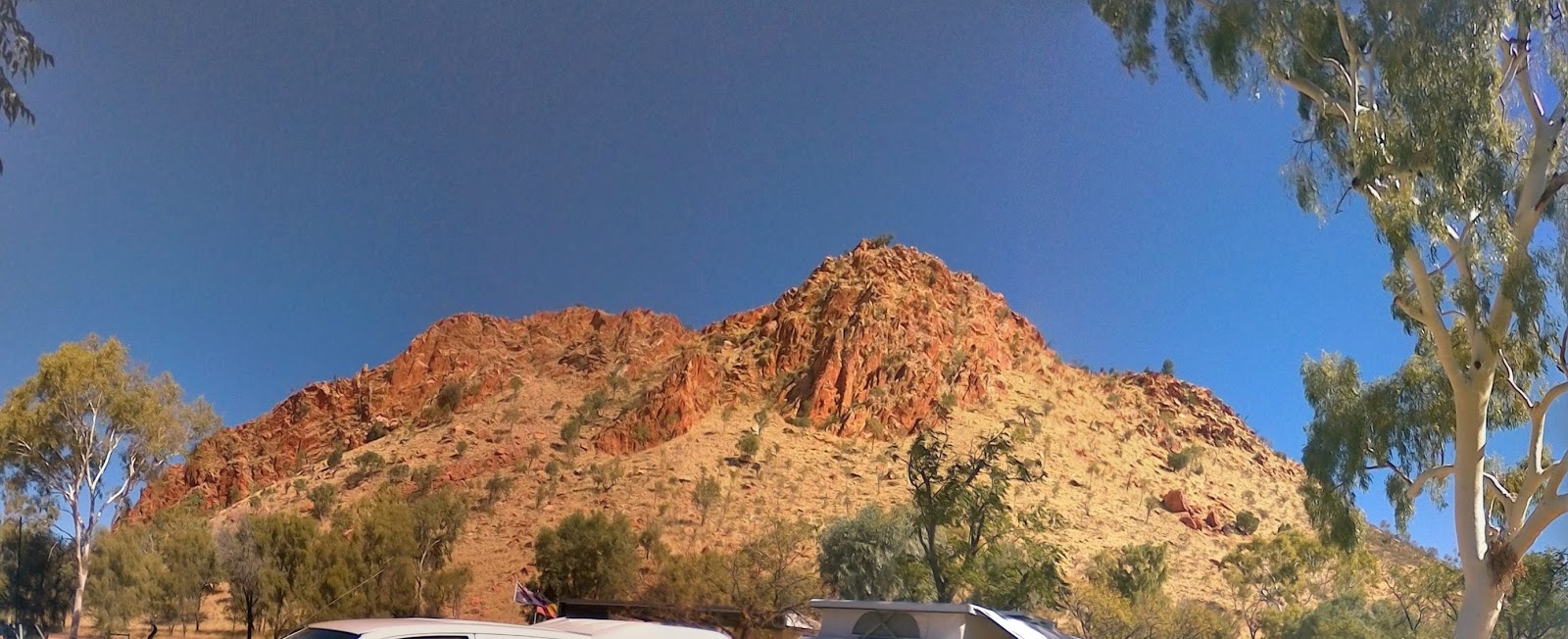


The countryside has changed again more vegetation, more Hills and Ranges, Creeks, some still have water in them.                                                         
Most cattle we saw look good nice shiny coats and look very sleek.
We stopped at the Gravel Pit for the night back away from the road so there was little traffic noise to disturb us. There was a nice wind blowing which kept us cool to sit outside for a couple of hours watching the stars and full moon before curling up to sleep.


Tim and I find the changing countryside fascinating, not boring at all.
We arrived in Elliot a place our son Simon came to visit back in the 1980`s.
Elliot was a staging camp during World War II. There is still some evidence of the buildings that had been here at that time.  
Elliot staging camp
Originally known as No 8 Bore Newcastle Waters, this town was named uniquely after as Army Lieutenant ‘Snow’ Elliot, who established No 7 Australian Personal Staging Camp in the area. In a census carried out on the 7th December 1940, three officers and 81 other ranks were recorded on site.
Elliot was used as a luncheon point only for northbound convoys on their on their third day out of Alice Springs and traveling between Banka Banka Staging Camp and Larrimah. It was an overnight stop on the first day for south bound convoys from Larrimah.
The highway virtually ran through the middle of the staging camp, separating the truck parking area from the administrative buildings. The camp had a capacity to shelter 1,500 men and due to the availability of bore water, contained a vegetable garden. A field Bakery company detachment ensured a ready supply of fresh bread.
A small Signals Section was maintained to report on road traffic, particularly in the Wet Season when hold ups were frequent and rescheduling essential.
Due to heavy traffic experienced through Elliot, a Salvage Sections. Workshops were established to collect and repair broken down vehicles and equipment. Refuelling facilities were established to service the convoys and it was around this important function that the town grew.
From The trails of history
Conservation Commission of the Northern Territory.


Had our cuppa filled up with water then move onto Longreach Waterhole about 11ks off the highway on private property where we are able to camp, so are staying for about 3 days.

Friday 29 April 2016

Devils Marbles and Bonney Creek


The Devils Marbles was only a quick stop as it was no dogs and Mischief who by the way is much better, would have had to stay in the car park and it was too hot. So a couple of photos and look around and we were off again.


We stopped at Bonney Well Rest Area on the Bonney Creek for the night, where a well had also been dug for a watering point for the stock route, later a windmill was put there. Now the well has been sealed off the tank has burst the side out, and the water troughs no longer hold water. But they made a good back drop for the photos at sunset.


The old road is still mostly intact though a new road bridge has been built. At the moment the creek is dry but the amount of water that comes down it is evident by how the rocks have been washed over the old road. I looked for some back wash and holes for evidence of gold, but didn’t find any!


 We even had  a Full Moon to add to the evening


The campsite filled up by 3pm as it has been a bit warm. 4 vans decided they needed their air conditioners going so started their generators and had them running until 8:30 – 9pm not impressed!! Then they started them again at 7:30am grrr no consideration for anyone else sleeping there.
But that`s  one of the joy`s of traveling.
We headed for Tennant Creek arriving after a good run.

Alice Springs up the road


3 days at Temple Bar Caravan Park. .


Temple Bar Caravan Park we`re camped at the base of this range.

We passed the Highest Point also the Tropic of Capricorn. 

 https://en.wikipedia.org/wiki/Mount_Zeil
 https://en.wikipedia.org/wiki/Tropic_of_Capricorn


We stopped off for a look at - Historic Ryan Well.
Ryan Camel party sank wells in many parts of arid Australia between 1885-1890. Early in his career, Ned accompanied explorer John McKinlay on his 1866 wet season survey of Arnhem Land. Trapped without food on the east alligator river, the fifteen man team faced death on a make ship raft Ned and a fellow bushman made from the skins of their 27 pack horses. The party drifted 13 km out to sea before reaching the safety of Escape Cliffs. During the six day voyage, the leaking raft attracted constant attention of crocodiles and sharks.
Two years later and still seeking adventure, Ned joined George Goyder`s team which surveyed the outpost now known as Darwin.
In 1885 he began sinking the wells which were vital to new settlement in the arid Central Australia. For 5 years he was the foreman of a team that established the water supply points shown on the map.
Overland Telegraph line from Adelaide to Darwin was completed, linking Australia with the overseas telegraph network. It began an era of rapid communications for the Australian colonies, and provided the safest route for travel and settlement through Central Australia.
Ryan Well was one of several that the Government sank along the track that followed the Overland Telegraph Line Drovers sheep and cattle valued its salty water which was raised originally by hand windlass and later by a “whip” and shown.


 Right across the road  is the Glen Maggie Homestead.
In 1914, the ‘Glen Maggie’ sheep and cattle station was established around this well and the owners charged a small fee per head to draw water for traveling stock.
In the 1930s, the spread of motorised transport and machine-drilled water bores robbed the well of its earlier importance.


Camped at Prowse Gap rest area for the tucked back in the trees, apart from the traffic it was nice and peaceful


 Ant nest
 dead flower head

The country is very scenic in our opinion not like the Nullabor at all, ranges and hills, open plains grasses and small trees /  shrubs also bigger trees, also a lot of dry creek beds.


We have been checking out fuel prices on the way and worked out the Tennant Creek had the cheapest fuel after Alice Springs at a $1.29 so a tankful and one extra Jerry can full would get there.

Out in the middle of nowhere we came across a set of traffic lights and guess what they were on RED! There were road workers widening and fixing the spoon drains and flood ways. After a 5 minute wait we were off again.


Then we saw the price board at Wycliffe Well for only a $1.09, so we did a loop around and fueled up there.
Around Wycliffe Well somewhere there is a UFO centre according to the book though we could not see any signs to say where it is. At Wycliffe the outside of the road house is painted with aliens and space ships which looked great.


To us the country is very different to when we came through here two years ago. Maybe because we are going the other way this time, also there has been quite a lot of rain since then, so it all looks good.

 Still we go on along the road more to come.